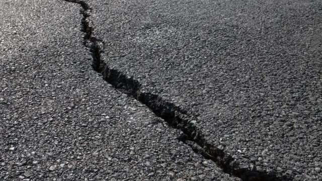
A 4.5 magnitude earthquake was felt in Kariba and surrounding areas including Binga during the week.
An earthquake of a similar magnitude was felt during the same time last year but authorities have said these are common and not expected to affect the structural integrity of the Kariba Dam.
Kariba dam stretches from Kariba in Mashonaland West to western Binga in Matabeleland North where its tail is.
In a statement, Zambezi River Authority chief executive Munyaradzi Munodawafa said the epicentre of the earthquake which occurred on 2 August was triangulated by the Meteorological Services Department (MSD) of Zimbabwe to approximately 50km South of Kariba Dam near Bumi Hills.
“An earthquake of magnitude M4.3 occurred and was felt in the Kariba and surrounding areas at 22:03 hours (10PM) on 2 August 2022.
“In the last twelve months, two earthquakes of equivalent magnitudes and several others of smaller magnitudes occurred south of the Kariba Dam. Of note are magnitude M4.5 and M4.6 earthquakes that occurred on 9 August 2021 and 24 May 2022, with epicentres near Binga and below the Lake respectively,” said Munodawafa.
He said although this (Kariba catchment) is a naturally active seismic area, it started experiencing increased seismicity after the filling of Lake Kariba in the 1960s.
“Accordingly, the earthquakes are normal and expected. They are referred to as “reservoir induced tremors” because they are attributed to the presence of the lake.
“We wish to assure the public and those domiciled in and around the affected areas that tremors of this magnitude are not expected to affect the structural integrity of the Kariba Dam. We further confirm that there were no unusual observations made from the inspections that were carried out on the morning of 3rd August 2022 nor from the analysis of dam safety data that is collected from several instruments that monitor the behaviour of the dam,” he explained.
In Binga, sources said they felt the vibrations twice at intervals on August 2, at 9:20pm and later in the night.
There was no damage to property.
The earthquakes are referred to as load-induced tremours or reservoir-induced tremours in the case of Lake Kariba and are a result of the earth crust’s response to water load or weight given the size of the dam.
The MSD has said earthquakes are common in the Zambezi and eastern highlands because of the East-Africa rift valley.
Only those whose magnitude is above 4,5 on the Richter scale are madepublic to alert the population.
In 2020, areas around Lake Kariba were hit by five moderate earthquakes in a week in April, two of them measuring 4,0 on the Richter scale while the other three were minor ranging from 3,0 to 3,5 in magnitude.
The reservoir-induced tremours have been occurring since 1963 when Lake Kariba started filling up.
The Zambezi River Authority is a bi-national organization which manages the Zambezi River on the stretch between Zambia and Zimbabwe and is mandated to contribute to the economic, industrial, and social development of the two countries by obtaining the greatest possible benefits from the natural advantages offered by the waters of the Zambezi River.

